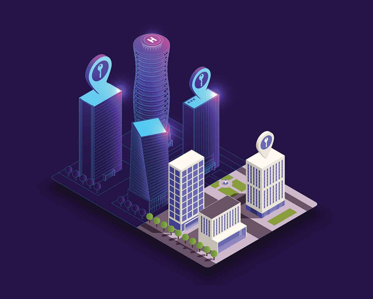
Territories are complex systems that are constantly evolving. Using digital technologies, we can model, simulate, visualise and experiment with the characteristics of a territory with the aim of making it easier to manage. The digital twin, a virtual replica of a territory as it operates, has great potential, so long as its needs are well targeted and relevant use cases are defined.
Don’t think of digital twins as simple 3D replicas of a territory; they are models that aggregate data from multiple sources (regulatory, geospatial, environmental and usage data along with real-time data provided by sensors) to create a representation of a city or territory and to generate information that will be used to guide action.
This type of tool may take account of architecture, urban planning, use and its consequences (property prices, pollution, etc.), networks and flows, subsoil resources and geological strata.
The digital twin offers almost unlimited potential for applications, from development strategy, urban planning, simulation and crisis management (playing out disruption scenarios) to everyday management issues.
This explains the importance of clearly defining needs in terms of uses and geographical perimeters, as the Banque des Territoires recommends in its guide for local authorities: “The digital twin is a solution and a response to a need, but it is not an objective in itself. The process of defining needs and objectives is therefore fundamental.”
Use cases of pioneering authorities
The Helsinki 3D+ tool is used in the Finnish capital to create simulations of physical phenomena, including 3D simulations of wind flow dynamics, simulation of solar gain and simulation of shadows cast on the ground as part of the Kalasatama eco-neighbourhood.
In the Paris region, a smart platform launched in 2019 makes it possible to evaluate the solar potential of buildings and inform the inhabitants of the region.
It is also a powerful tool for transforming organisations, because of its systemic approach and its ability to create a common system of reference.
As a unified source of data on the territory, it encourages different agencies to work together and helps de-silo specialised departments, contributing to the implementation of more effective, systemic policies. This is one of Rennes Métropole’s stated objectives in deploying its 3DExperienCity Virtual Rennes tool.
A necessary process of taking ownership of the tool
Nevertheless, as the Banque des Territoires points out, implementing a digital twin requires real maturity on the part of the local authority in terms of conducting digital transformation projects, as well as a risk and opportunity analysis with regard to the ethical, legal and economic issues at stake concerning technological choices, governance and cyber security linked to this type of project.
“Digital twin technology has great potential for a territory’s local authorities and stakeholders,” explains Chloé Friedlander, Smart City project manager at the Banque des Territoires. “To ensure that the twin is properly integrated into the community, a step-by-step approach is recommended. The local authority must first acquire and master its 3D data base, and then the departments must develop use cases according to their needs, while learning to use the applications themselves.”
An experiment in La Grande-Motte
In La Grande-Motte, in southern France, Bouygues Energies & Services is currently carrying out a digital twin experiment in the framework of a strategic partnership between Dassault Systèmes and Bouygues Construction.
As it does in Rennes, the 3DExperience platform acts as a support for the digital twin. This time, the partnership enables the tool to be adapted to the needs of a territory’s maintenance operations: with a view to reducing costs, the platform is being tested for street lighting management. So that any potential malfunctions can be better anticipated and visualised (e.g. defective bulbs), the town has been rendered in 3D in a digital model on which each element managed appears, as well as multiple pieces of relevant data (such as the exact location, energy consumption, etc.).
Although a lot of experimentation still needs to be done, the digital twins of territories are already emerging as a genuine benefit for the management of territories, and perhaps even for their resilience – only time will tell.